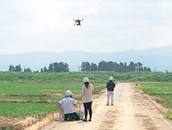
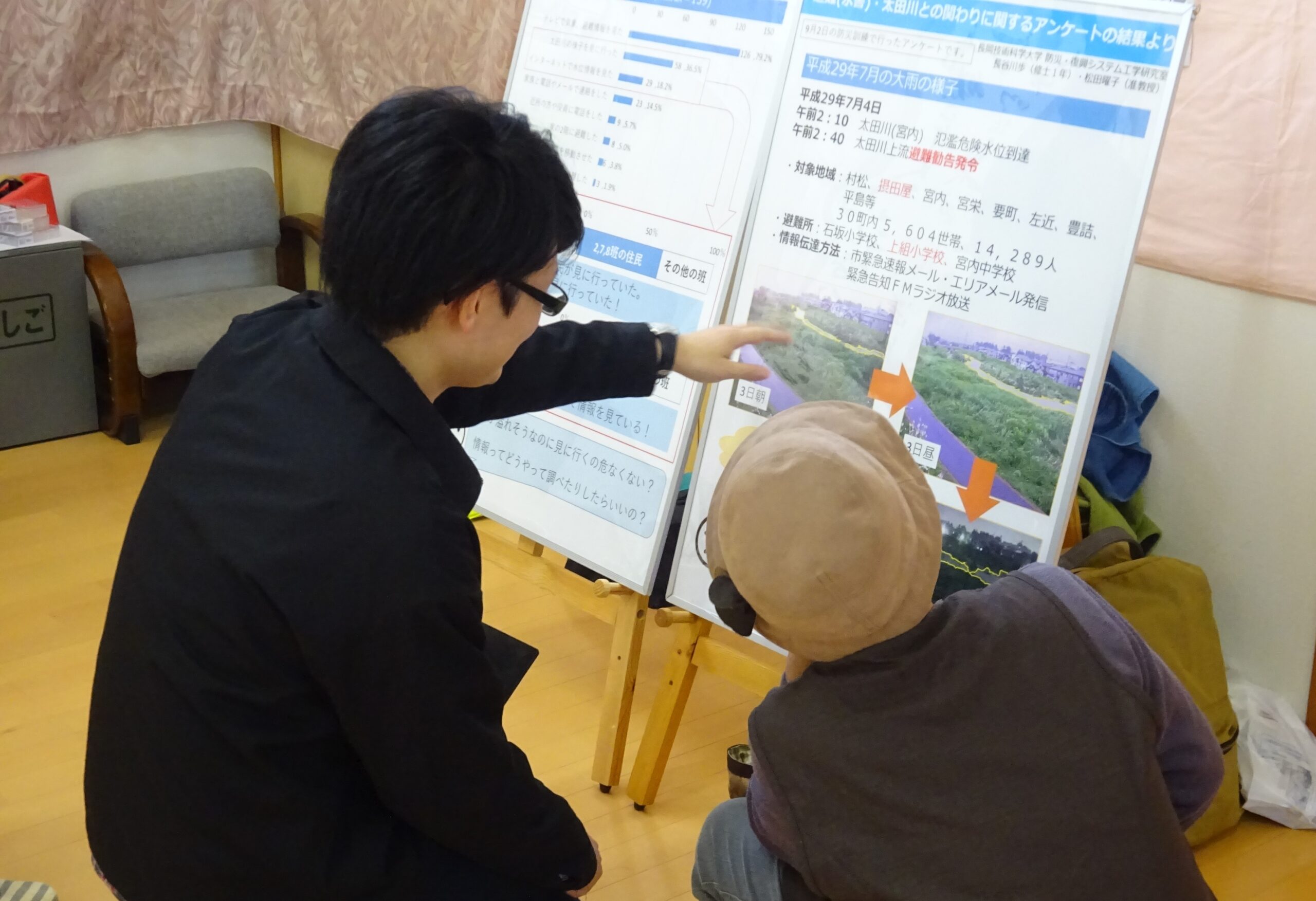
本研究室は、フィールドワークや社会調査を用いて対話的な研究を行う地域防災(防災)グループと、ドローンや人工衛星データを用いて俯瞰的に地域を観測するリモートセンシング(RS)グループから成り立っています。防災グループでは「技術と社会の接点」に着目しつつ、住民が主体となる災害に強いまちづくり・復興のまちづくりのデザインをテーマに計画学的アプローチによる研究を行っています。現在は水害に備えるための専門家と住民の共同学習、福祉施設の避難問題、建設業の災害支援活動などを取り扱っています。RSグループは、ドローンや人工衛星などに搭載されたセンサで取得した空間情報を様々な分野の防災・減災に活用する研究に取り組んでいます。現在はおもに、車載LiDARによる道路積雪のモニタリング手法(雪害)やドローン搭載LiDARによる農作物の生育モニタリング手法(農業災害)の開発に取り組んでいます。
The lab consists of the community-based disaster management (CBDM) group and the remote sensing (RS) group. The CBDM group aims at designing participatory resilience building before and after catastrophic events. Current research topics includes: collaborative learning for small river floods, evacuation issues in nursing homes and disaster relief activities by construction businesses. The RS group has been researching applications of geospatial data acquired with sensors onboard drones or satellites to disaster prevention and disaster mitigation in various fields. The current main topics using LiDAR: Measurement of snow depth on roads and roadsides using vehicle-mounted LiDAR, estimation of crop growth using UAV-LiDAR.


